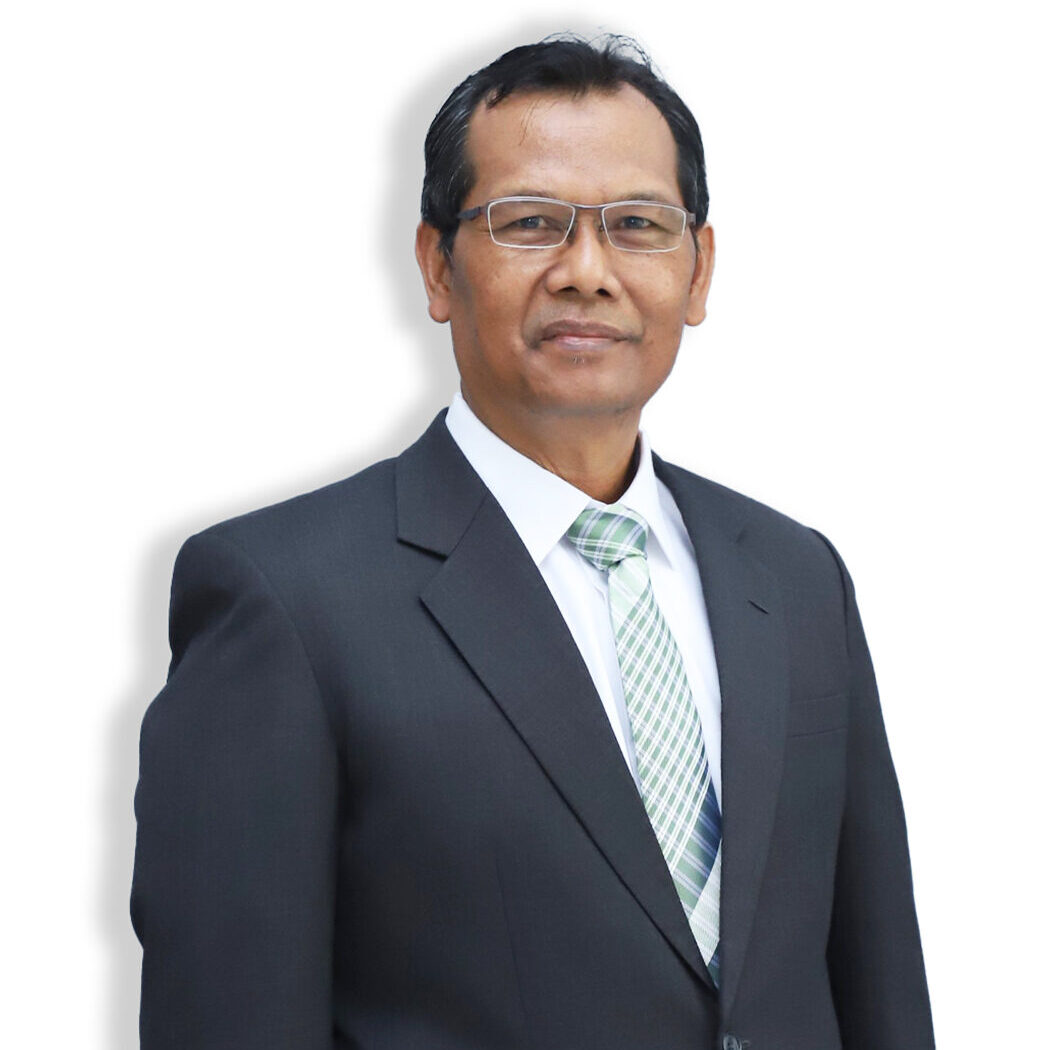
Prof. Ir. Sugianto, M.Sc., Ph.D pursuing undergraduate education (S1) in the Study Program Soil Science Of Syiah Kuala University, Banda Aceh After that, he continued his master’s degree (S2) at Curtin University of Technology, Australia with a focus on the field Soil Science, which strengthened his scientific foundation and skills in understanding soil characteristics and their relationship to land resource management. At the doctoral level (S3), he earned a Ph.D. in The University of New South Wales, Australia, with areas of expertise Remote Sensing & Geographic Information System (GIS) With this academic background, Prof. Sugianto is known as expert in the field of remote sensing and geographic information systems (GIS). His expertise includes utilizing satellite technology, aerial photography, and drone-based sensors to monitor land, forest, and agricultural conditions, as well as environmental changes spatially and temporally. Integration with GIS enabling him to analyze, map, and manage spatial data more accurately, which is very useful in supporting evidence-based decision-making in the field precision agriculture, land use planning, environmental degradation monitoring, and natural disaster mitigation. In addition, the implementation of remote sensing and GIS. His expertise in the field of soils has also made significant contributions in mapping soil fertility, erosion rates, moisture distribution, and land-use patterns. His expertise focuses not only on technical aspects but also on linking these technologies with conservation of natural resources, sustainable development planning, and efforts to face the challenges of climate change. Through a combination of soil science and spatial technology, Prof. Sugianto plays a key role in the development of research and practical applications across various sectors, making him one of the most influential academics in promoting the use of modern technology for environmental and natural resource management in Indonesia.